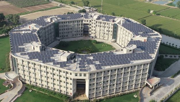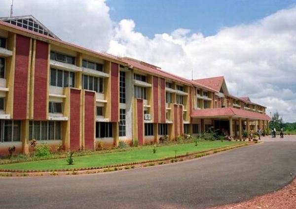
Karnataka State Rural Development and Panchayat Raj University Gadag
- University
- Co - Education
- ESTD 2016
- State University
Interested in this College?
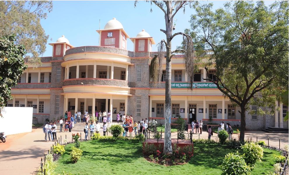
Master of Science (M.Sc.) Geo Informatics
M.Sc Geoinformatics
Course
Students enrolled in the course are offered advanced lessons in space technologies and geospatial models, Geoinformatics-estimation and analysis networks, applications of geospatial techniques in real-life problems, application of natural resource management techniques, insights and technical knowledge relevant to the science of Geoinformatics
Geoinformatics is an interdisciplinary subject, with applications in almost every discipline. There is an increased dependency of organizations, businesses, and governments on the integrative and analytical power of Geoinformatics to address real-world issues.
Applications of the discipline of Geoinformatics include uses of satellite-based outcomes for various sectors such as water, agriculture, urban livelihood, rural development, forestry, global community.
Duration : 2 Years
Eligibility
- Successful completion of graduation in the Science stream, from a recognized university.
- Graduation needs to have been completed in any of
- Science/ Engineering
- B. Arch.
- Economics/ Mathematics/ Statistics/ Geology
- A minimum aggregate score of 55% (50% for SC/ST candidates) at the level of graduation.
- GIS Technicians
- Surveyor
- GIS Analysts
- Geographical Information Systems Officer
- Geographer

