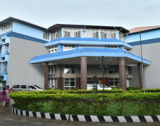
Kerala University of Fisheries and Ocean Studies (KUFOS) Kochi
- University
- Co - Education
- ESTD 2010
- Entrance
Interested in this College?
Master of Science (M.Sc.) Remote Sensing and GIS
Master of Science (M.Sc) in Remote Sensing and GIS
Course:
Master of Science (M.Sc) in Remote Sensing and GIS is a PG Programme. Master of Science (M.Sc) in Remote Sensing and GIS Course offered by Kerala University of Fisheries and Ocean Studies (KUFOS) Kochi. This course will provide a basic grounding in the fields of oceanography, satellites, and the applications of remote sensing to oceanographic studies. The objectives of the programme is to provide sufficient number of competent personnel with sufficient knowledge and skill in the area Ocean Remote Sensing and GIS to cater the need of the present and future need of skilled people to analyze data and advance the science. The objectives of the Ocean Remote Sensing and GIS course are to support the environmental, social and economic well-being of the coast by linking people, information and technology. Linking coastal decision makers with relevant data and information derived from remote sensing technology through Product Development, Applied Research & Development.
Duration: 2 years
Eligibility:
A University degree with 50% or 5.5/10.00 or 2.2/4.0 marks in any of the following subject combinations. Degree in Physics/ Geophysics / Geology /Mathematics/Computer application/ Environmental Sciences with GIS /BE/ B.Tech in Civil Engineering/ Natural Sciences/Fishery and life Sciences. Graduates with (+2 level Mathematics and Physics) /Biology/BSc in Environmental Sciences/BSc Natural Sciences can also be considered for admission.
Higher Studies:
- Ph.D
Career Opportunities:
- Remote Sensing Tech Lead
- Project Fellow/Project Assistant,
- Assistant Professor
- Technical Associate, Regional Manager
- GIS Executive
- Research Associate
- Remote Sensing & GIS Software Analyst
- Remote Sensing & GIS Technical Program Manager
- Remote Sensing / GIS specialist