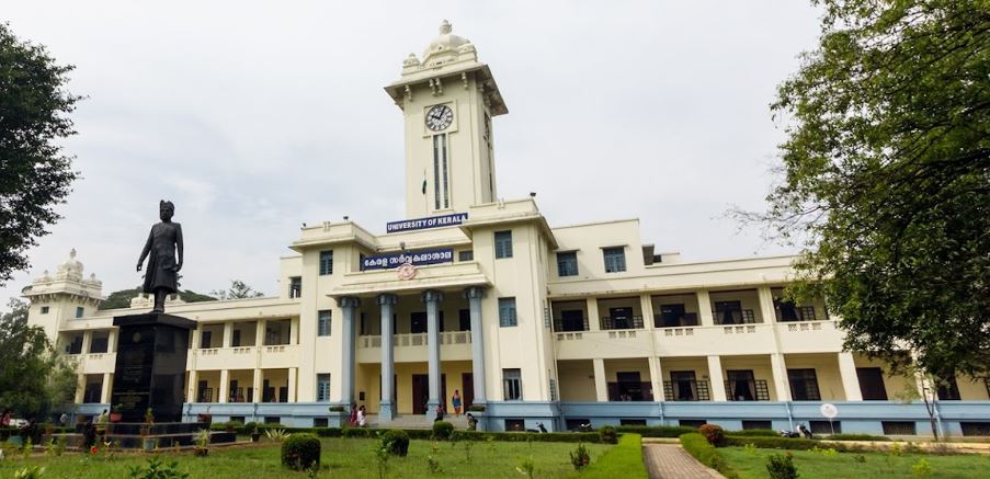
University of Kerala Thiruvananthapuram
Thiruvananthapuram,Kerala,India
0471 238 6228
: 828 101 0854
- University
- ESTD 1937
- State University
Interested in this College?
Master of Technology (M.Tech) Geo Informatics
Master of Technology (M.Tech) Geo Informatics
Course
M.Tech Geo Informatics is a two-year post-graduate-level engineering program at University of Kerala Thiruvananthapuram. The candidate must be B. Tech or BE graduate in CSE/ IT/EEE/ ECE, Civil, Physical sciences/ Engineering Physics/Geoinformatics/Agricultural Engineering or M.Sc in Mathematics/Physics from a recognized institute. The course is multidisciplinary, covering geology, geography and informatics and teaches the students to use technological tools to manage and process spatial information. University of Kerala curriculum includes classroom training & practical in Introduction to Remote Sensing and Image Analysis, Geographic Information System, Mathematical Methods, Photogrammetry, Scientific Computing for Geospatial Data Analysis, Remote Sensing and Image Analysis Lab, Geographic Information System Lab, Photogrammetry Lab, Scientific Computing for Geospatial Data Analysis Lab, Pattern Recognition and Machine Learning, Analysis and Modelling of Geospatial data, Recognition and Machine Learning lab, Analysis and Modelling of Geospatial data lab, Geospatial outreach, Mini project and scientific report writing. The electives include Satellite-based positioning and LiDAR remote sensing, Advanced GIS, Hyperspectral image processing and analysis, Computer vision and advanced image processing, Microwave remote sensing, Remote sensing and GIS for environmental and natural resource management, Remote sensing & GIS for atmospheric sciences and ocean studies, Quantitative remote sensing, Comprehensive viva, Dissertation. The graduate can work at The Natural Resource Management, TomTom, Tranverse Technologies, Google Map, Indian Agricultural Research Institute and the Meteorological Department as Geo Informatics Engineer, GIS Consultants. GIS Managers, GIS Engineers, GIS Analyst, GIS Developers, GIS Specialists, Geographic Information Systems (GIS) Analyst Trainee, and Educator.
Duration: 2 years
Eligibility
Candidates must pass Graduation (BE/ B.Tech/ Equivalent) from a recognized University
Higher Studies
- Ph.D
Career Opportunities
- Geo Informatics Engineer
- GIS Consultants
- GIS Managers
- GIS Engineers
- GIS Analyst
- GIS Developers
- GIS Specialists
- Auto CAD Experts
- Draughtsman
- Research Scientist
- Geographic Information Systems (GIS) Analyst Trainee
- Process Design Engineer
- Test Engineer
- Application Consultant
- Researcher
- Educator

